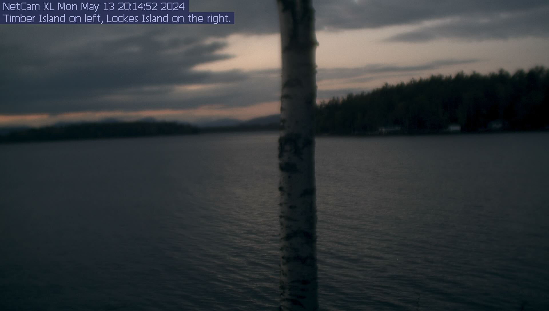
| Varney Point, Gilford, NH, USA | Weather at 11:17:00 local time on 11/7 |
| Lake Winnipesaukee | Historical data Other area webcams |
![]() |
|||
| Temperature | Error | ![]() | |
| Humidity | Error | ||
| Wind Chill | Error | ||
| Dew Point | Error | ||
| Heat Index | Error | ||
| Wind Speed (gust) | 4 mph (3.5 knots) | ||
| Wind Speed (avg) | 0.7 mph (0.6 knots) | ||
| Wind Direction (gust) | 297° (NW) ![]() | ||
| Wind Direction (avg) | 286° (W) ![]() | ||
| Rainfall Rate | 0 mm/hour | ||
| Rainfall | 0 mm since 9.00 am | ||
| Forecast (from weather station) | |||
| During the summer the sailboat in the picture is a J/80. We often race in the Lake Winnipesauke Sailing Association events. The powerboat is a Chaparral. | |||
| On a clear day you can just make out Mount Washington between Lockes and Timber Islands. | |||
| Windspeed readings are pretty reasonable for W/NW wind. South winds are blocked by land and East winds may be accelerated through the Lockes/Varney Point Channel. | |||
| Hardware used: | Oregon Scientic WMR968 Weather Station |
Logitech Quickcam Pro 4000 |
| Software Used: | Andy Keir's FreeWX-Wi program. | Conquer Cam |
Extreme conditions since 9.00 am
Maximum Temperature
|
|
WebCounters courtesy of http://www.digits.com
Unique: